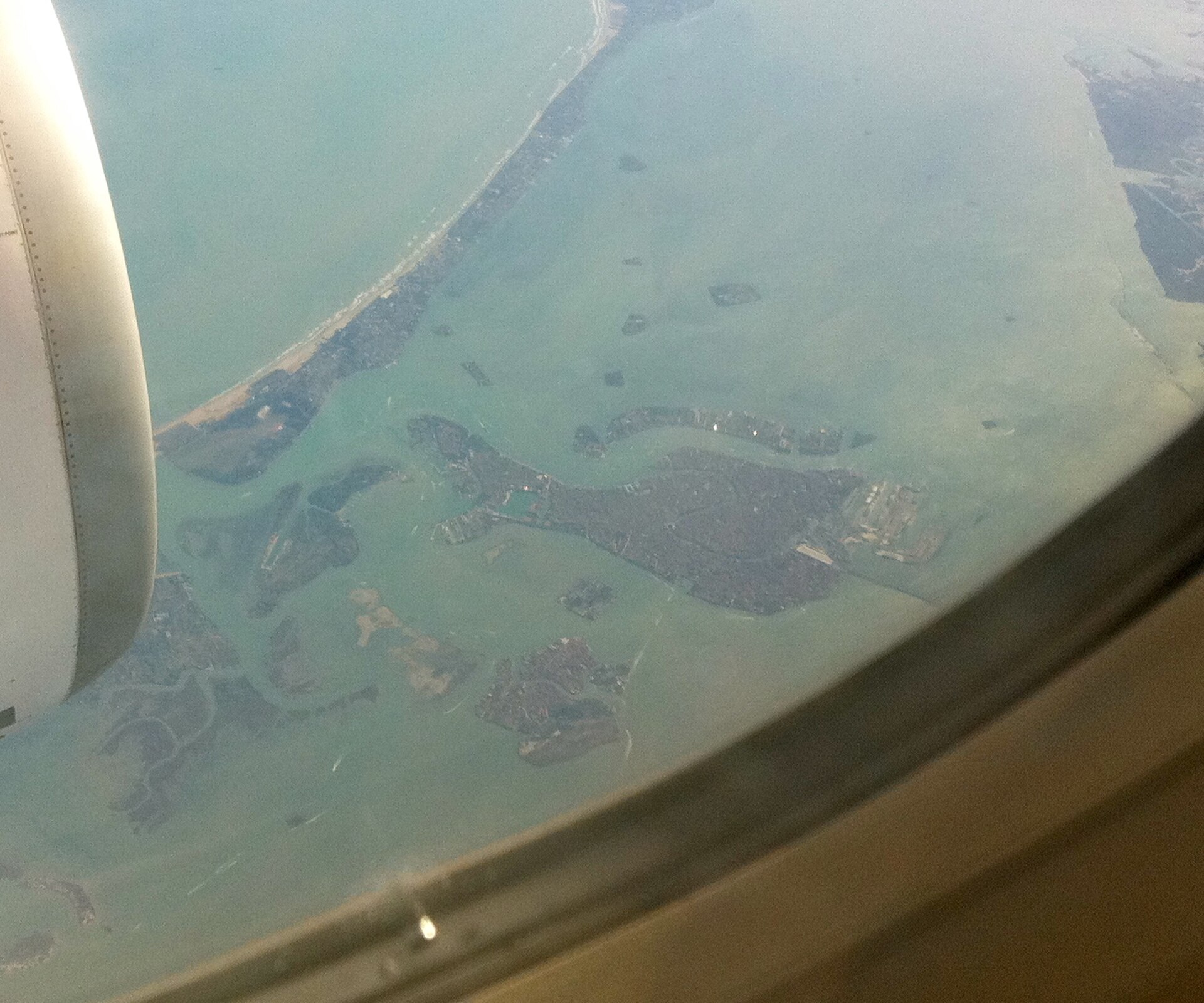
A study published in 2026 in Quaternary Science Reviews (DOI: 10.1016/j.quascirev.2026.110206) reconstructs palaeolandscapes of the northern Adriatic for the interval roughly between 9000 and 4000 cal BC. The paper, led by Samuele Ongaro and produced in collaboration between the University of Southampton and Italy’s Istituto Nazionale di Oceanografia e di Geofisica Sperimentale (OGS), integrates previously published sediment‑core records with new high‑resolution geophysical data. The resulting maps and inundation models depict barrier/back‑barrier systems, lagoons, marshes and deltaic environments that existed before progressive marine transgression.
These reconstructions do more than refine geological knowledge: they indicate where archaeologists might reasonably expect to find submerged prehistoric sites. Institutional press releases and media summaries have highlighted the main findings; the peer‑reviewed article provides the full methodological detail and data interpretation.
- The article 'Palaeolandscape reconstructions for the Northern Adriatic' was published in Quaternary Science Reviews in 2026 (DOI: 10.1016/j.quascirev.2026.110206).
- Lead author Samuele Ongaro and collaborators from the University of Southampton and the Italian OGS reconstructed palaeolandscapes for approximately 9000–4000 cal BC.
- The study combined published sediment cores, new high‑resolution geophysical surveys and inundation models to map barrier, lagoon, marsh and deltaic environments.
- Main conclusion: extensive Early–Middle Holocene coastal wetlands likely offered attractive resources and settlement opportunities before being progressively drowned by sea‑level rise; the work highlights target areas for underwater archaeological survey but notes significant methodological uncertainties.
Methods: multiproxy data and inundation modelling
The authors use an integrated approach common in marine palaeoenvironmental research. Published and newly acquired sediment cores provide stratigraphy and palaeoecological indicators, while geophysical techniques — multibeam bathymetry, sub‑bottom profiling and other high‑resolution seismic surveys — reveal seabed morphology and buried features. On this combined dataset the team constructed inundation scenarios and mapped depositional environments such as lagoonal muds, marsh sequences and barrier sands.
Such multiproxy reconstructions are powerful but depend on the spatial distribution of cores and the resolution of geophysical coverage. The team also had to make assumptions about local relative sea‑level changes, sediment supply and fluvial dynamics; those parameters strongly condition the reconstructed shorelines and the timing of flooding events.
Archaeological implications: where and why to look
Interpreted archaeologically, the reconstructed wetlands would have offered a rich and diverse resource base for Mesolithic hunter‑gatherers and for early Neolithic communities. Brackish lagoons, marshes and sheltered back‑barrier areas provide fish and shellfish, waterfowl, edible plants and access to raw materials near river mouths. The authors therefore argue that former back‑barrier lagoons, estuarine fills and protected shelf areas are priority targets for maritime archaeological survey.
Importantly, the paper does not claim the discovery of specific archaeological sites on the seafloor. Instead, it supplies a geomorphological and depositional framework that can guide targeted geophysical prospection and coring campaigns to locate and test potential occupation layers. In other words, it refines the search image rather than supplying direct evidence of human presence.
Preservation and interpretative limits
The preservation of archaeological materials in submerged contexts is highly variable. Some lagoonal and marsh substrates can create low‑oxygen conditions that preserve organic remains and delicate artefacts, while more dynamic, erosive zones will have removed or reworked evidence. The study highlights these contrasting taphonomic potentials and stresses that depositional environment maps are proxies for preservation likelihood, not guarantees.
There are further scientific uncertainties. Radiocarbon dating points are necessarily discrete, and the spatial sampling of cores is incomplete. Local tectonics, sediment redistribution and small‑scale coastal processes can produce significant local deviations from the broader models. As the authors acknowledge, their maps should be treated as probabilistic reconstructions that will require targeted field verification.
Implications for research and heritage protection
For maritime archaeology the paper provides a clear strategic message: combine regional palaeolandscape models with modern geophysical survey to focus expensive diving and coring resources. The study recommends, implicitly if not explicitly, a workflow of broad‑scale multibeam and sub‑bottom surveying followed by targeted coring and in‑situ inspection where depositional conditions suggest high preservation potential.
Heritage managers face practical choices: many potential prehistoric landscapes now lie under fishing grounds, shipping corridors and proposed offshore developments. The research therefore intersects with policy — it argues for integrating palaeolandscape data into spatial planning and for closer collaboration between geoscientists, archaeologists and regulators to identify, evaluate and, where appropriate, protect submerged cultural deposits.
Next steps and open questions
The study points to concrete follow‑ups: expanded geophysical coverage, additional cores to fill spatial gaps and micro‑archaeological analysis of sediments to test for in situ cultural material. Also needed are closer comparative studies linking known terrestrial Mesolithic and Early Neolithic sites with the newly modeled coastal zones to reconstruct how people used shorelines and estuaries through time.
Crucially, the work is a framework rather than a catalogue. It narrows plausible locations for submerged sites and identifies promising depositional contexts, but establishing human activity requires direct archaeological evidence recovered by focused fieldwork. That analytic sequence — model, survey, core, excavation/inspection — is the pathway the authors outline for advancing understanding of the northern Adriatic’s lost coastal heritage.
IO SYNTHESIS
THREE-SOURCE ARTICLE ANALYSIS
The article 'Palaeolandscape reconstructions for the Northern Adriatic' was published in Quaternary Science Reviews in 2026 (DOI: 10.1016/j.quascirev.2026.110206).
OPEN EVIDENCE ↗Lead author Samuele Ongaro and collaborators from the University of Southampton and the Italian OGS reconstructed palaeolandscapes for approximately 9000–4000 cal BC.
OPEN EVIDENCE ↗The study combined published sediment cores, new high‑resolution geophysical surveys and inundation models to map barrier, lagoon, marsh and deltaic environments.
OPEN EVIDENCE ↗✓ SOURCES AND DOCUMENTS
01 science.orf.at ↗02 eurekamag.com ↗03 nordnesrepublikken.no ↗Sources last checked · 27.08.2026, 01:56This article was written and checked by the ZEITUNG.IO newsroom. It is updated when new verified information becomes available.